


We have developed a specialized vertical solution, specifically
tailored for geographical coverage within the Fire and Rescue
sector.
Please do not use this service for other sectors as it would be unrealistic. If you are interested in calculating territorial coverage for another sector, please contact us.
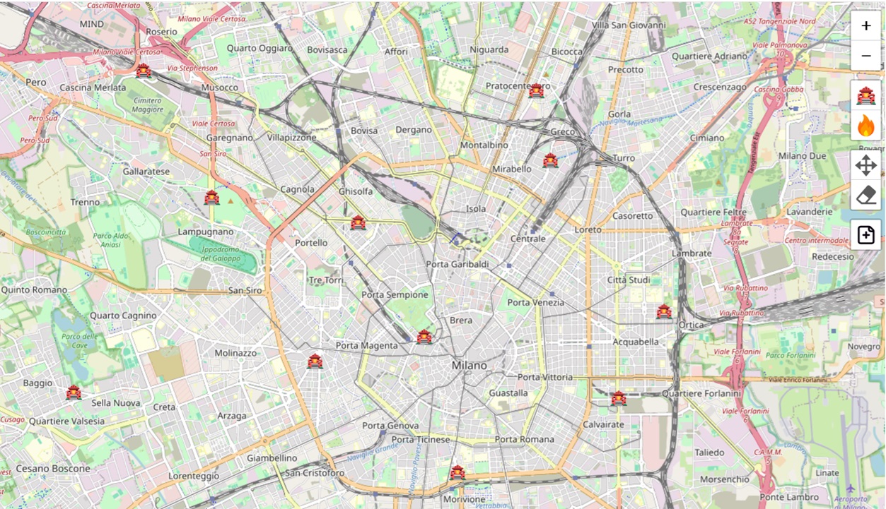
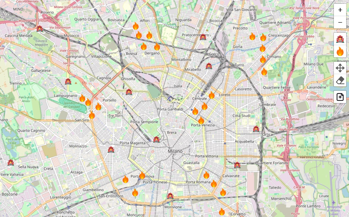
By inputting fire station and historical fire locations, you can create a realistic geographical coverage model to highlight areas with the most critical intervention needs.
Our specialized mapping tools allow you to accurately position the fire departments relevant to your area of interest on the map.
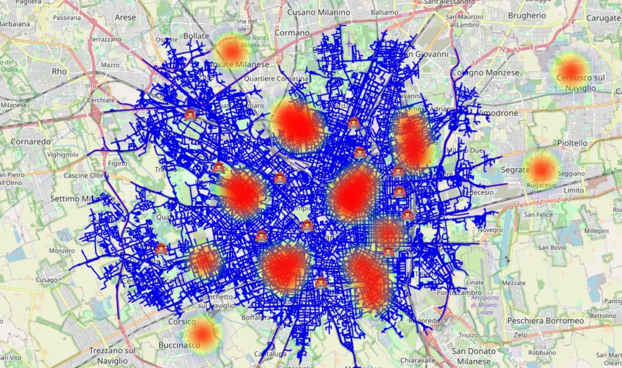
This feature enables you to identify and visualize areas that have demonstrated a higher frequency of incidents, demanding increased focus.
You must first indicate the maximum acceptable intervention time (in minutes) to prevent loss of life. The simulation is done on the fire departments visible on the map, to limit the number of fire departments use the zoom and/or panning.
The resulting report will confirm whether your response times provide adequate coverage for your area of responsibility.
We invite you to try the product now, free of charge, by simply signing up.
You can have a free simulation for 5 times with 5 fire station locations.
After 5 fire stations or after 5 simulations, if you think this service could be useful to you, we ask you to pay a contribution to help us keep this service active and improve it with your suggestions.
When you exceed the limits of the free service, the prices are as follows:6 EUR for each fire stations up tp 5 stations, 4 EUR for each fire stations between 6 and 10 stations and 2 EUR for each fire stations starting from the eleventh station.
Thank you in advance for using our service and thank you again if you help us grow it.
This service, like all our services, was implemented without any public funding, but only with our work.